Learn disaster types, risk zones, and management principles.
Train in early warning systems and GIS-based mapping.
Deploy tech for response, mitigation, and resource coordination.
Plan resilient infrastructure and community-led preparedness strategies.
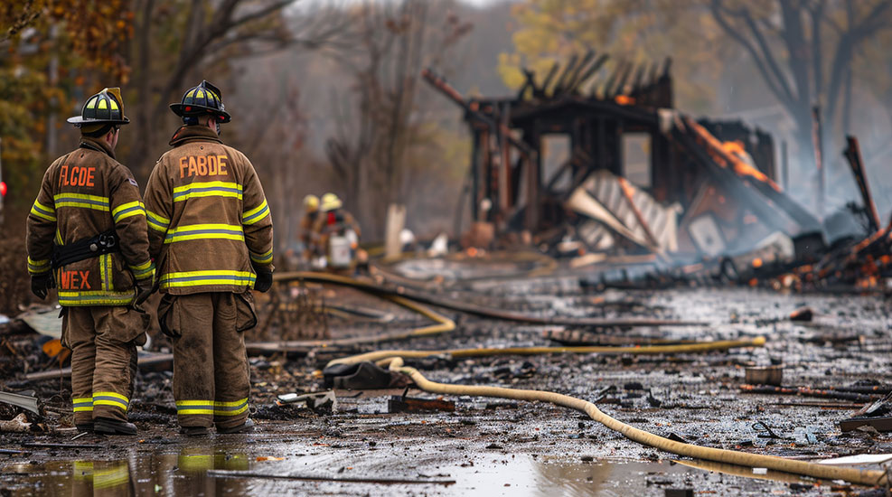
Disaster Management
India ranks among the top disaster-prone countries. Yet, workforce capacity in early warning systems, risk mapping, emergency tech, and resilient planning is limited. Skill-building in disaster risk reduction is vital for protecting lives, infrastructure, and critical services.
Early warning systems, real-time GIS dashboards, AI-based risk modeling, and satellite analytics are revolutionizing disaster preparedness and response. Tech-led innovations improve coordination, reduce impact, and aid recovery planning.
Despite frequent disasters, India lacks adequately trained professionals in risk mapping, data-driven response, and recovery logistics. Institutional readiness often falls short without disaster-resilient infrastructure or skilled urban disaster planners.
Amazing Statistics
₹4 Cr
Affected Annually1M+
Lives saved by early warning systemsDrones used in disaster response
$155B
Global market by 2027Amazing Statistics
₹4 Cr
Affected Annually1M+
Lives saved by early warning systemsDrones used in disaster response
$155B
Global market by 2027Explore geospatial mapping, early warning systems, and risk analytics. Learn to anticipate, mitigate, and manage disasters—becoming a vital contributor to urban resilience and emergency preparedness strategies.
- Master Disaster Technologies: Use GIS, drones, and predictive tools.
- Build Safer Cities: Plan infrastructure with embedded resilience.
- Lead Crisis Response: Work with governments, NGOs, or UN systems.


